

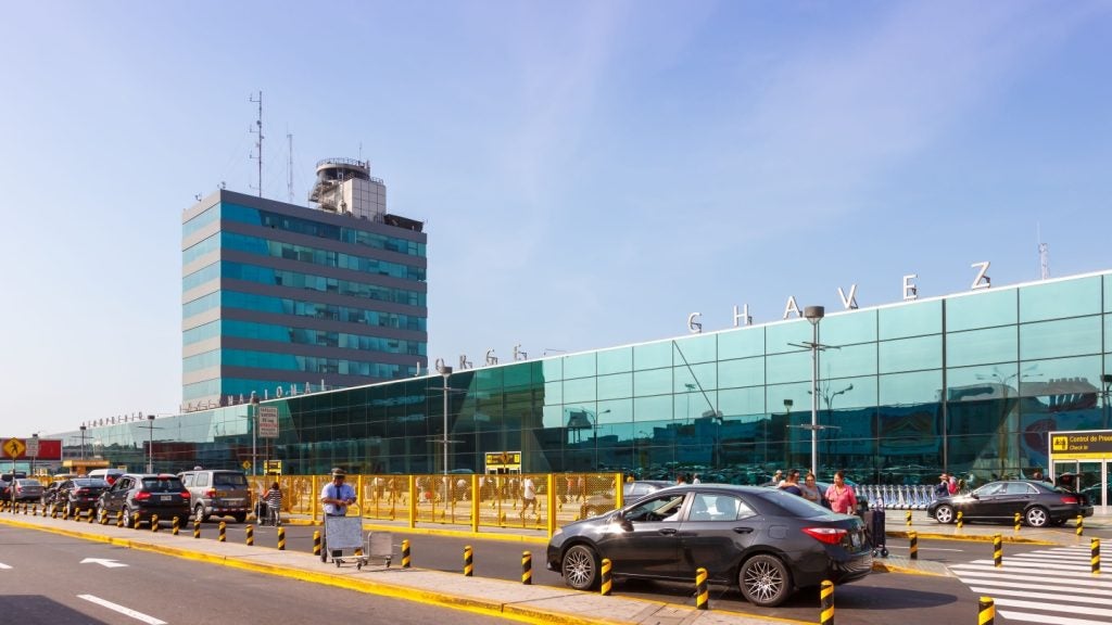
Moving people is what airports are all about. Yet, paradoxically, non-aeronautics airport operations managers often have huge gaps in their knowledge about what passengers do – gaps that stem from the difficulties inherent in measuring people, not things.
Knowing how long passengers had to wait in line, how much traffic passes-by retail and concession locations, what the conversion rate is for each of those locations, whether curbside pickup areas are jammed, when there weren’t enough taxis, and how long the passenger journey took from parking to gate; these are fundamental facts that influence operations and passenger experience.

While this kind of measurement isn’t easy, it’s become much more practical with the advent of new technologies that can measure how people navigate physical spaces.
The technologies to do this are called ‘people measurement’ sensors. They map customer behaviour within a physical space. They do so in great detail, and they do it anonymously.
Light Detection and Ranging (Lidar), in particular, has emerged as a great tool for ‘people measurement’ in very large spaces. Lidar sensors provide great overall tracking, more reliable measurement of people, more precise tracking of their movement, and better privacy protection than previous technologies.
See Also:
How Lidar Works
Lidar sensors are like radar, but with light. They shoot out invisible beams of light (infrared) and then measure how long it takes for the beam to reflect back. This lets them create a 3-dimensional map of an area (called a point cloud) and identify objects (including people) in the location.
How well do you really know your competitors?
Access the most comprehensive Company Profiles on the market, powered by GlobalData. Save hours of research. Gain competitive edge.

Thank you!
Your download email will arrive shortly
Not ready to buy yet? Download a free sample
We are confident about the unique quality of our Company Profiles. However, we want you to make the most beneficial decision for your business, so we offer a free sample that you can download by submitting the below form
By GlobalDataBy repeatedly sweeping an area and tracking whether and how objects move, a lidar sensor can track individual objects over time and map their entire path throughout even large and complex spaces.
Since lidar is just creating a radar image, it can’t be used to identify someone. This makes lidar nearly perfect from a privacy perspective. Even if a lidar sensor is hacked by a malicious actor, it can’t be used to identify a specific person.
The combination of privacy, coverage and environmental flexibility make lidar especially appropriate for airports.
Because lidar generates its own light, it isn’t dependent on good lighting. It can work indoors and out. And it can work in all but the very worst weather conditions. What’s more, because lidar beams carry a very long distance, lidar isn’t dependent on having ceilings of a specific height or even being ceiling mounted at all.
The combination of privacy, coverage and environmental flexibility make lidar especially appropriate for airports where every one of those capabilities is fully exercised.
Lidar is an extraordinary tool for ‘people measurement’. It provides highly reliable people identification (better than 98%), precise positioning (down to single square feet), and it tracks an object’s movement 10 times a second, meaning that it will literally measure every step a passenger takes.
It’s also worth calling out that while this section is titled ‘people measurement’, the capabilities of lidar detection are not limited to people. Lidar can track any kind of moving object in its field of view. That means lidar can be used to monitor curbside areas, taxi lines, valet areas, and parking lots, helping you monitor and count special use cases and passenger needs.
What Does it Take to Use Lidar?
Installing lidar sensors is the first step. These are typically smaller than cameras but are similar from an installation perspective. Unlike cameras, Lidar can be mounted in almost any location. They are typically mounted well over the scene so that you minimize people blocking people, but they can work with a variety of angles and mounting heights.
Because lidar sensors have a large area of coverage, line-of-sight considerations are frequently paramount in planning implementation. Knowing how many sensors to deploy to get good measurements can be tricky. Fortunately, there are simulation tools available that make the job far more scientific and far less error-prone.
Each lidar sensor requires a direct cable connection to a local network, to which a processor running the software that translates the raw output of the lidar sensor (Perception Software) into real information is also connected. Typically, a single processor can handle the output from 5-12 lidar sensors.
The processor running the Perception Software pipes data to a ‘people measurement’ system that can be running on-premises or in the cloud.
Look Ma, No Wires!
Because terminals are so large, cable runs are expensive, since installers will charge by the length of the run. Fortunately, there’s a way around this.
By adding a small, node processor that is directly connected to the sensor at the sensor location and then transferring processed data to a central server (via Wi-Fi) that then fuses the data from multiple sensors, you can implement large networks of lidar sensors without any wiring:
A sensor is a sensor is a sensor. If you buy a lidar sensor, you get a mechanical device. Every 10th of a second, it will produce and send a point cloud. To get usable data, you need two additional software pieces – both of which have a dramatic impact on the final quality and usability of your data.
Even with a highly detailed point cloud, poor Perception Software may impair the quality of tracking.
The data produced by a sensor must be analysed by Perception Software. Real-world performance in terms of object identification and tracking is always a combination of hardware and software. Even with a highly detailed point cloud, poor Perception Software may impair the quality of tracking.
With Perception Software, however, you’re just getting a stream of timestamps and object positions. This data is filled with line-of-sight breakages and has no spatial contextualization.
So, output from the Perception Software is typically fed into a People Measurement Platform. The People Measurement Platform will clean the data, stitch tracks across line-of-sight breaks, contextualise the data to the space and supply a range of analytic functions like heat-mapping and pathing.


Related Company Profiles
Perception Software, Inc.
Digital Mortar Inc